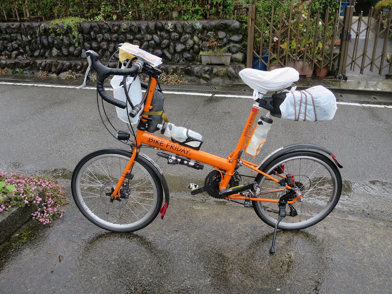
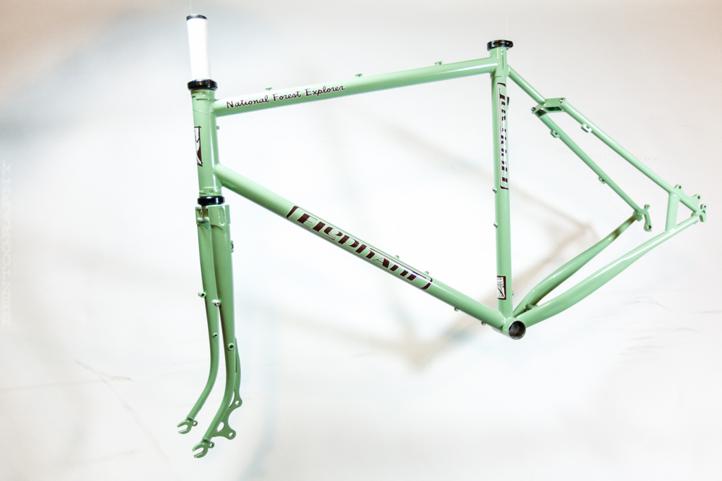
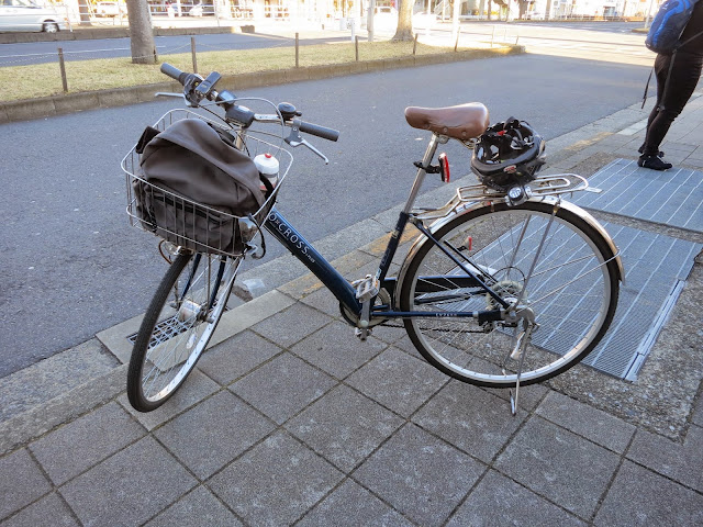
I have finished a 400 km brevet, repeating last year’s success, after an unsuccessful initial attempt in 2014. BRM423 NishiTokyo 400 km Fuji Big Loop (BRM423西東京400km富士大回り) was my third brevet on my new Elephant Bikes National Forest Explorer (NFE), after a 200 km brevet in Izu and a 300 km one around Mt Fuji. Previously I rode all my brevets on my Bike Friday Pocket Rocket.
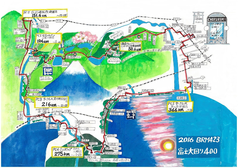
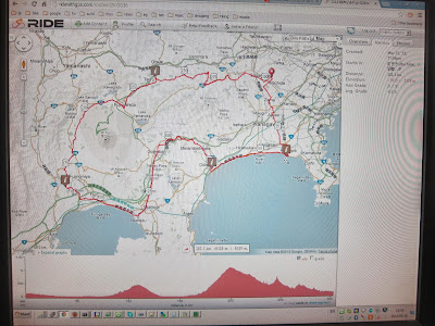
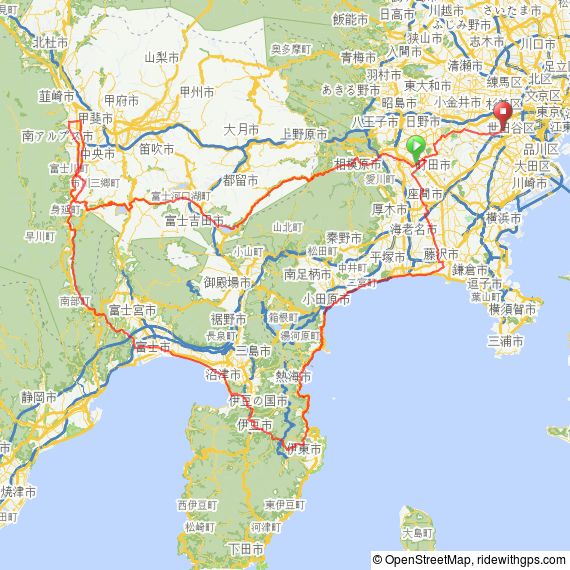
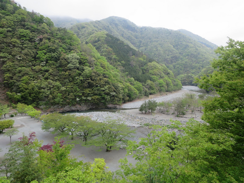
Like most brevets by AJ NishiTokyo this brevet starts and finishes in Machida. It heads out towards Lake Yamanakako via Doshi road, then via Lake Motosuko to Minami Alps City. From there it turns down to the coast at Fuji City, crosses Izu peninsula via Shuzenji to Ito on the east coast and back up to Machida via Odawara. Altogether it visits four prefectures (Tokyo, Kanagawa, Yamanashi and Shizuoka).
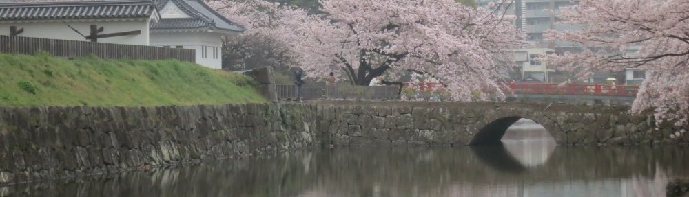
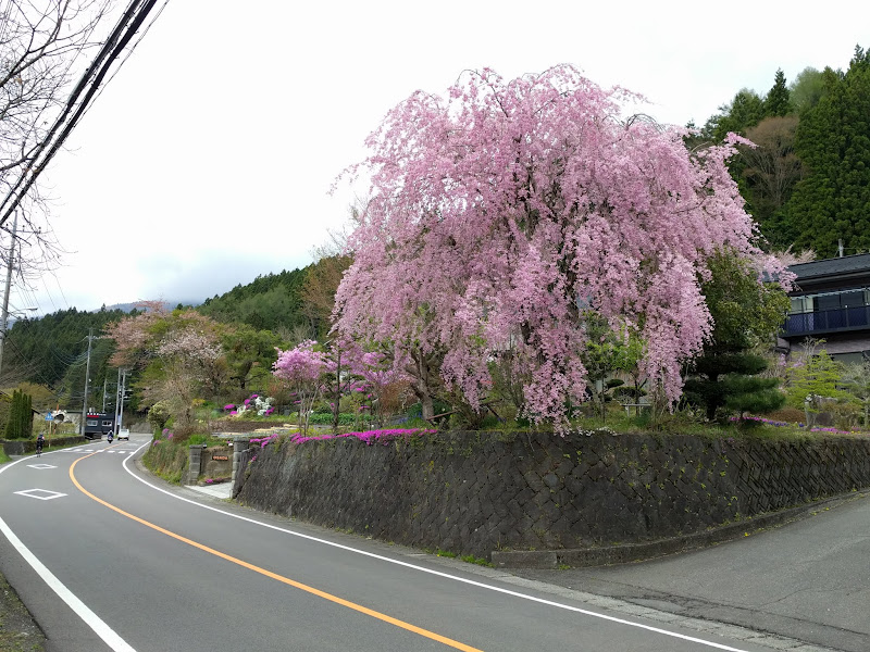
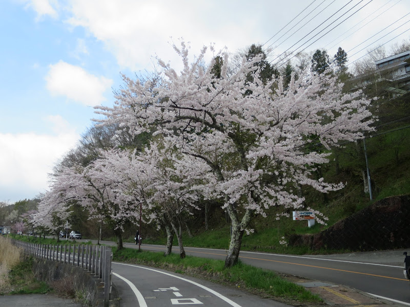
This year it was a little too late for cherry blossom season even in the cooler mountain regions, but there are plenty of purple Wisteria (藤, fuji) in full bloom everywhere.
After my pre-ride of the course two weeks earlier I considered going back to the Bike Friday for its ease of taking it on a train should I not finish the ride. The week before the event I had a very busy schedule, taking friends from overseas to Meiji shrine, Asakusa, Kamakura, Mt Takao and the Tsukiji fish market among other places. Lots of walking and hiking and not quite enough sleep. However, after a final dinner on Thursday we said farewell and I slept in on Friday morning. I went for the NFE after all, to be able to compare it with last year’s ride. If I got sleepy some place in Izu I would simply find a place to sleep and cycle home at my own pace.
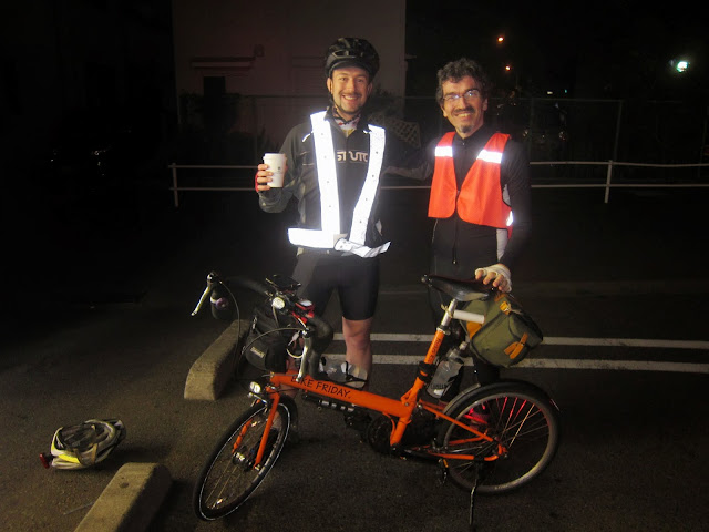
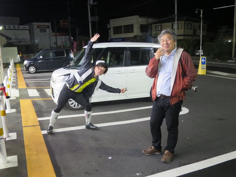
The night before the event
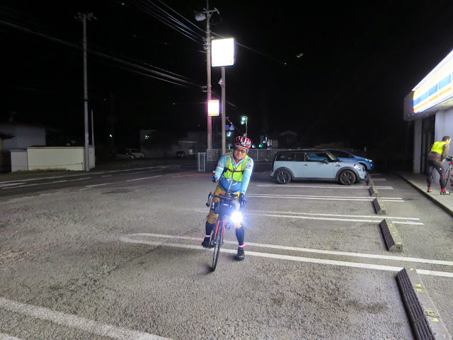
I left home around 18:30 on Friday as I had booked a room at the Tokyoko Inn in Sagamihara, about 2 km from the start. I first set off in cycling shorts, but after about a km turned around and got changed into long uniqlo trousers and also packed a pair of regular shorts. In my luggage were long johns and long sleeved underwear as well as a light wind breaker and my rain wear.
With all that gear I was covered for the full range of temperatures and weather conditions I might encounter. I even brought full fingered gloves, which I never needed, nor did I use the warm underwear. The rain wear I ended up only wearing briefly.
The rooms at the Tokyoko Inn are not luxurious but clean and functional and offer all the basic necessities. In my room I finished my conbini (convenience store) dinner and went to bed around 21:40. I slept reasonably well until my alarm woke me up at 05:20. After a shower and simple breakfast I got changed into my shorts, expecting I would not need trousers during daytime until at least Yamanakako. I was right – it was quite warm during the day, even up near Mt Fuji. While almost everybody at the start wore leg warmers or long lycra trousers, I was perfectly comfortable in my uniqlo shorts.
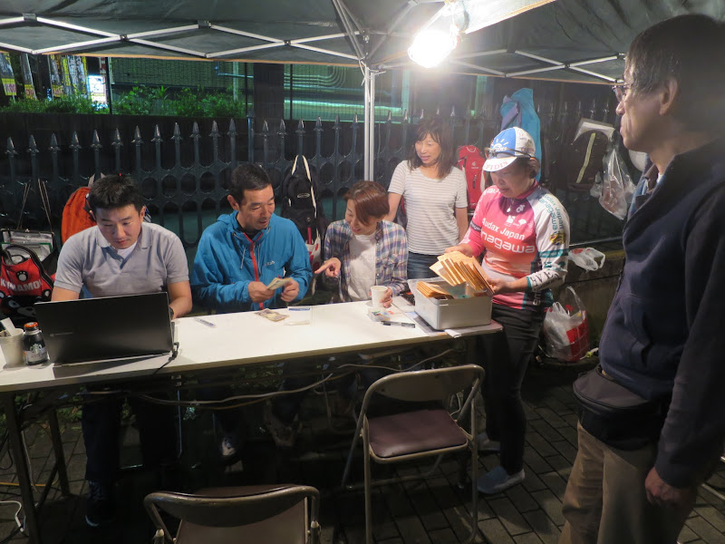
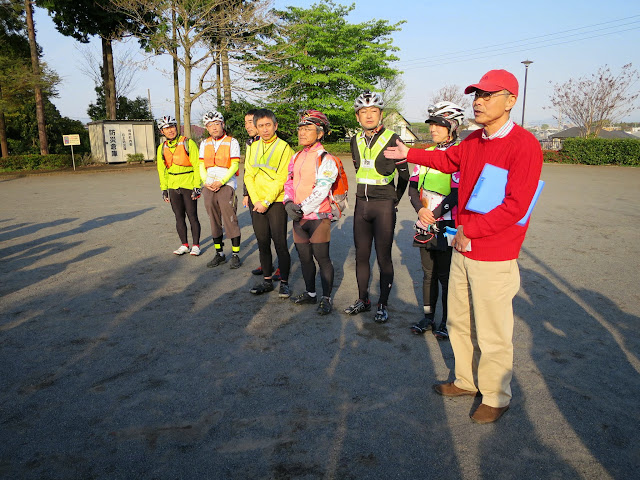
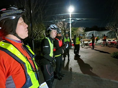
At the start
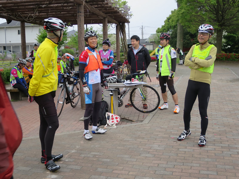
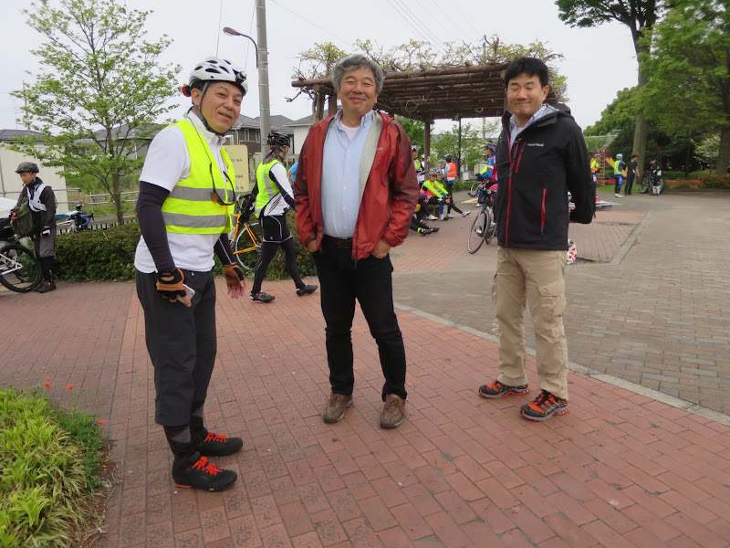
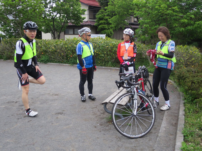
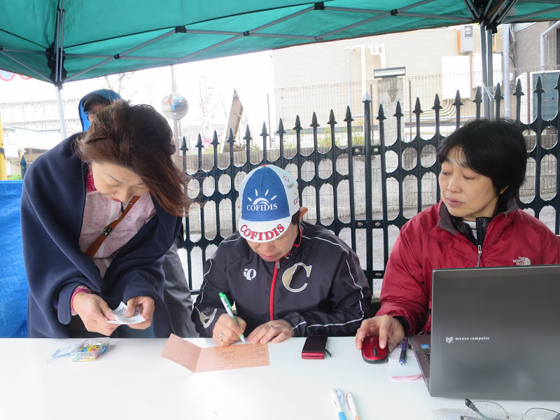
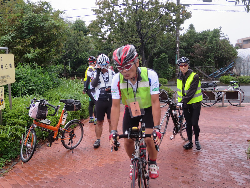
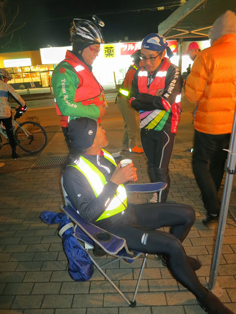
I got to the reception desk in front of the Cherubim bike shop fairly late, when people had already started moving on to the start point to get ready for the briefing. After getting my brevet card and saying hello to friends and taking some pictures, I also headed over. One cyclist showed up on his BD-1 folding bike.

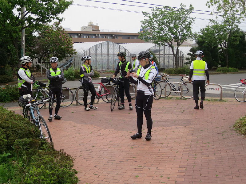
At the briefing we were reminded of the risks of our sport: A few years ago a participant had badly crashed on the Rt300 descent from Motosuko and had to be airlifted by helicopter to the nearest hospital. “If you need a helicopter, please try to stay alive until the hospital in Kofu”, joked one of the staff members and reminded us that the ride isn’t over until we have safely reached our own front door.
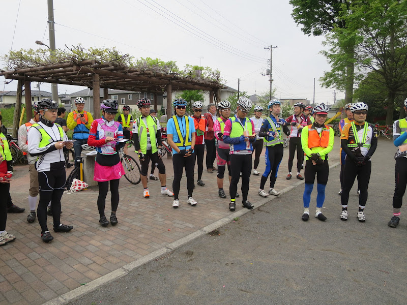
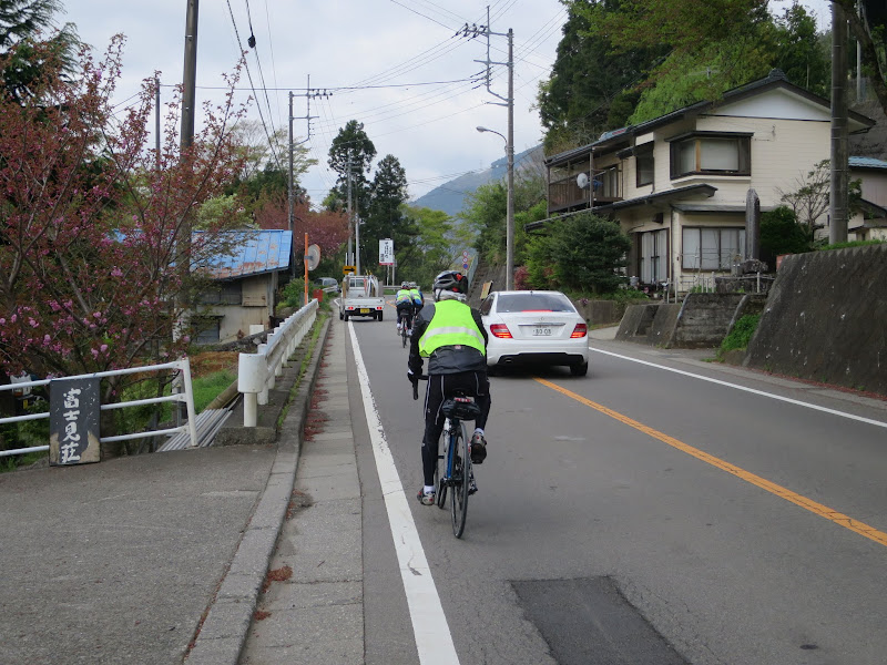
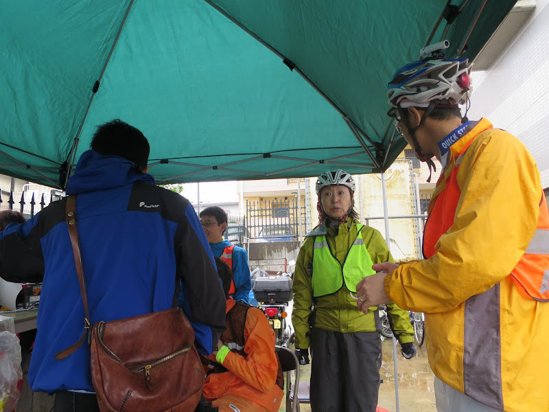
After the briefing the safety check started (lights, reflective jacket, bell) and then we were off.
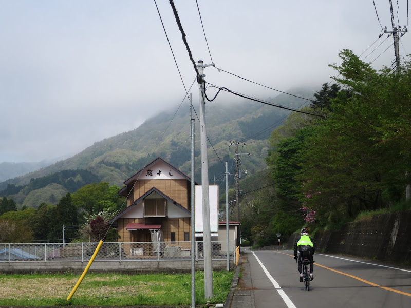
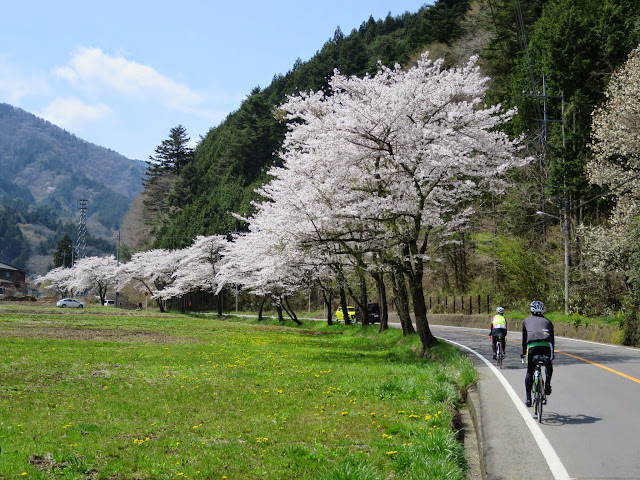
Via Doshi to Yamanakako
The weather forecast for Saturday was mostly cloudy, with some scattered rain during the night and on Sunday, which is pretty much how it played out.
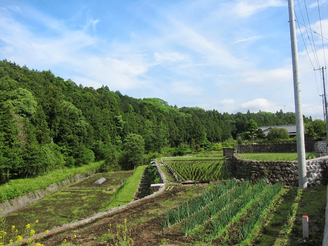
Up until Doshi village most of the cherry blossoms were gone already, replaced by fresh seasonal green everywhere.
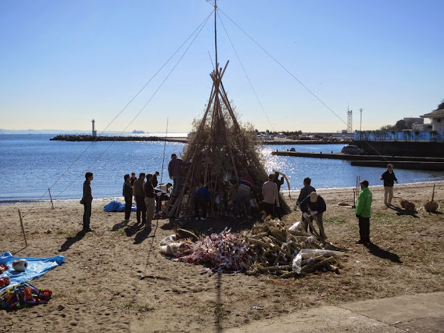
About 50 km from Machida we came across the quiz checkpoint and I took a picture of a poster on a particular drinks vending machine to prove that I had been there.

I bought some milk tea and had a banana or two, before heading on after the break.
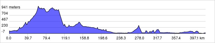
I worked pretty hard up Doshi road to the village and made good time. This year I never fell behind the minimum average (15 km/h) counted from the start, unlike last year, where I was in deficit by the time I got to Yamanakako and only regained enough time on the biggest descent (from Motosuko to PC1) to stay 20 minutes ahead of cut-off time at PC1, 125 km from the start. This year I was an extra hour (1 hour 20 minutes) ahead at PC1 instead!
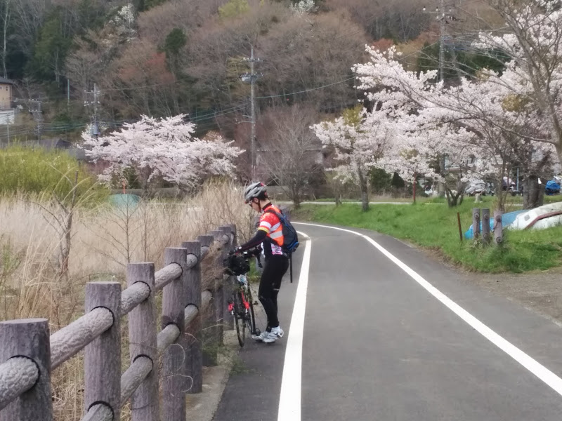
I could recover on the descent after the pass between Doshi and Yamanakako and it wasn’t as cold as when I rode it two weeks ago. Partly that was because I arrived much earlier in the day.
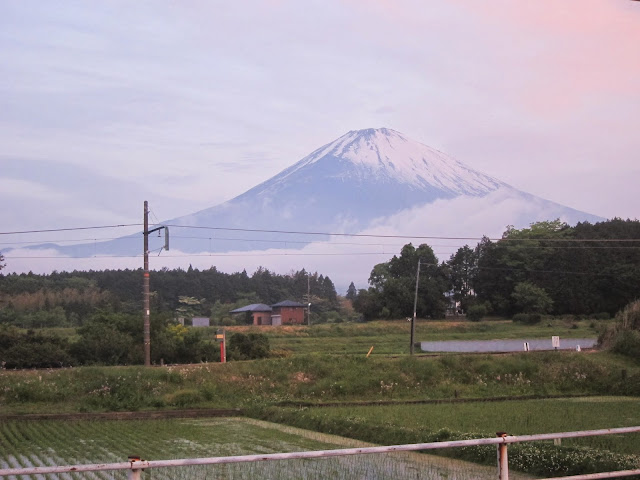
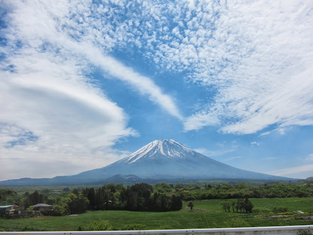
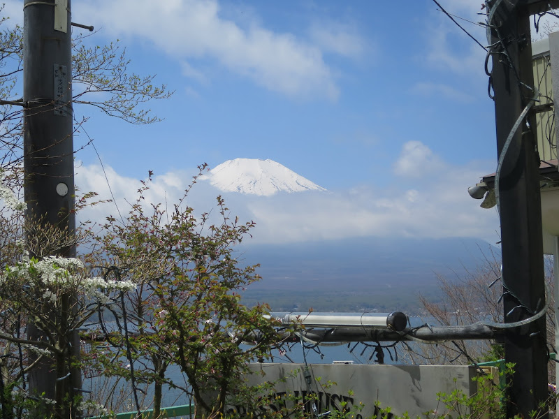
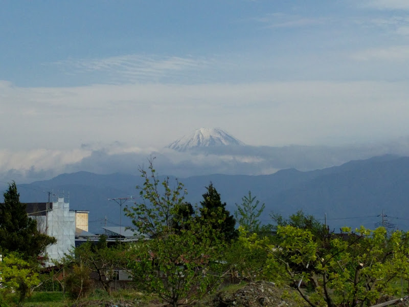
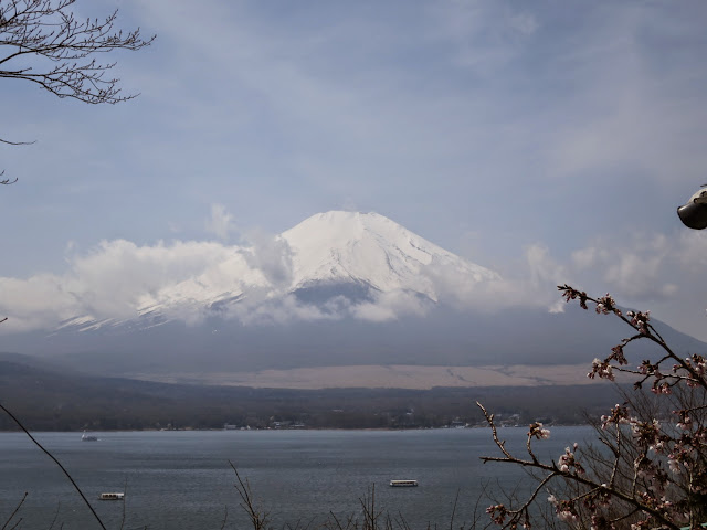
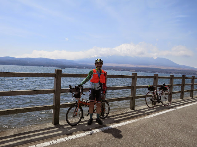
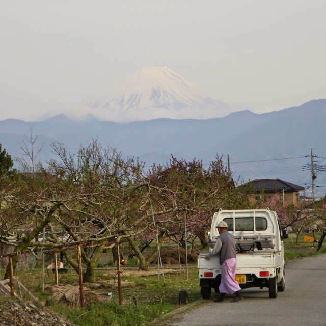
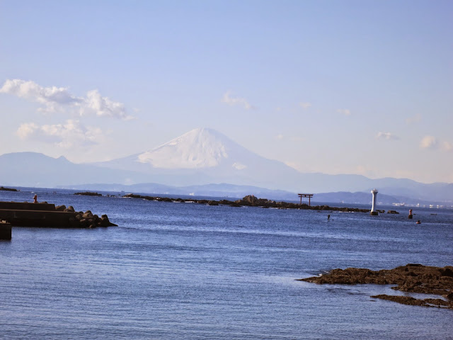
Yamanakako with Fuji-san:
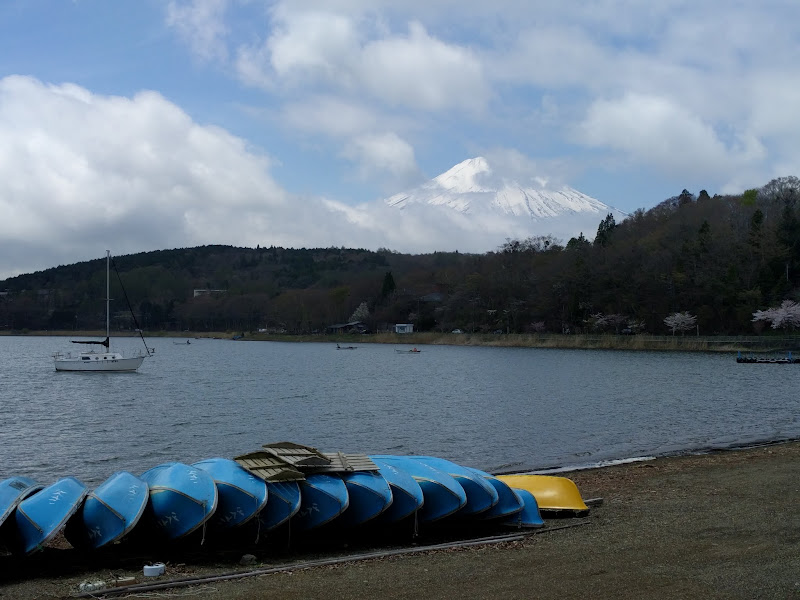
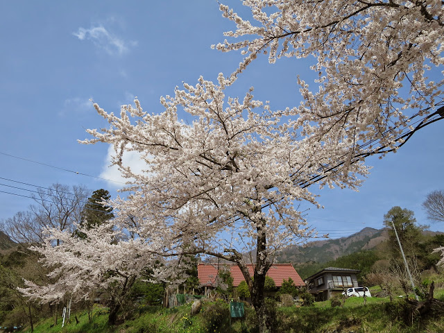
The cherry blossom season at Yamanakako starts a lot later than in Tokyo:
After the lake we joined the main road, which always tends to be busy, but at least initially we could enjoy more descending. Then after the Fuji Q Highland theme park the road quality deteriorates and stays poor for a long time, but there’s no real alternative if you want to make good time.
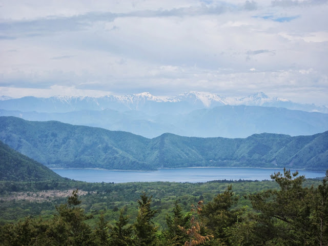
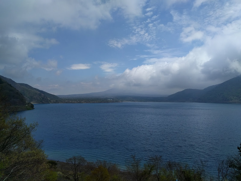
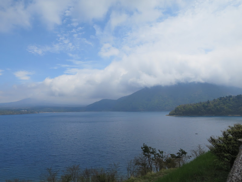
Motosuko to Minami Alps
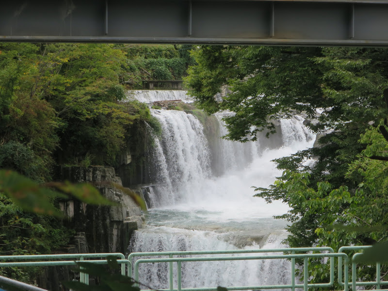
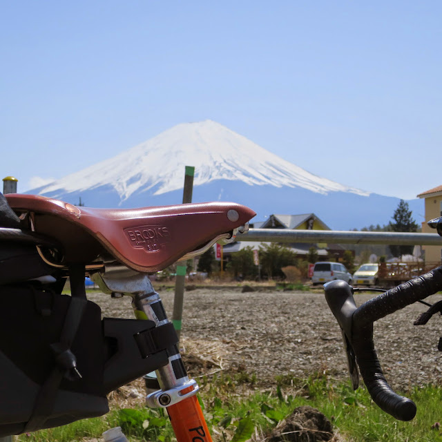
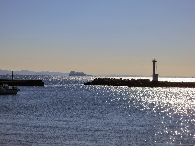
Motosuko is where you could find the Fuji view shown on the 1000 yen note, but often it’s obscured by clouds:
After the tunnel behind the lake (before which staff reminded us to switch on our lights) I started the descent. I did not even put on a wind breaker because it still wasn’t too cold. Last year this had been the coldest part of the brevet route. I could descend much faster than on my pre-ride two weeks earlier, where I had arrived here after sunset, but not wanting to try out Japanese helicopter rides I was still careful.
After PC1 the road was mostly flat for the next 27 km to PC2 in Minami Alps. We ended up with a good tailwind, which is always a pleasure. I chatted to a local road cyclist about our event and he took my picture. Around 15:30 I got to PC2, 151 km into the course, now almost 1:30 ahead of cut-off time – 1:10 faster than last year!
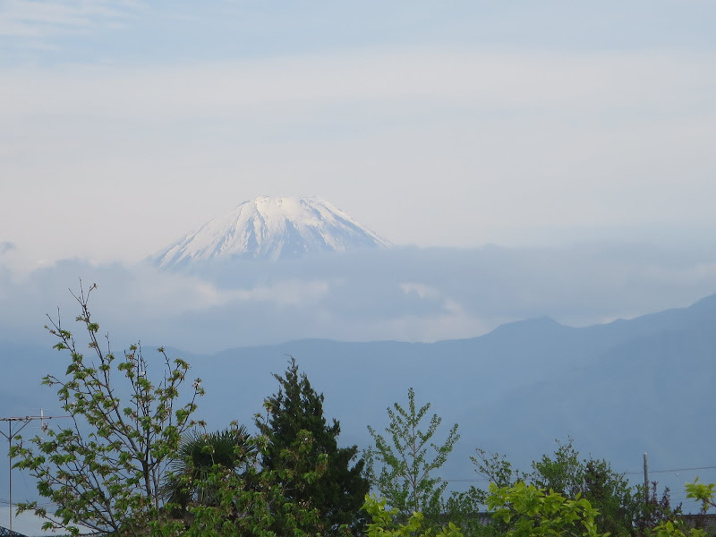
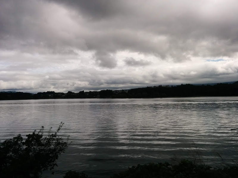
Minami Alps (Yamanashi) views of Mt Fuji:
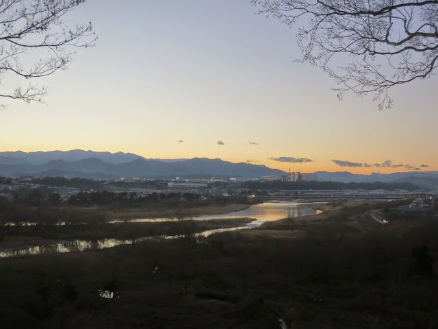
Though I was concerned about facing a head wind on the way back from Minami Alps, this part of the route has a long downhill section, so the wind doesn’t really bother you because gravity takes care of it and your legs still recover.
Heading into the night
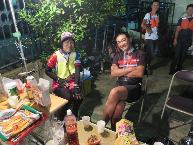
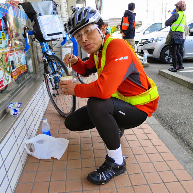
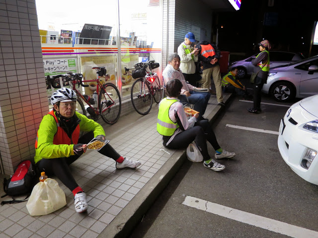
From Kajikazawa the route joins major Rt52 along the Fuji river. We shared the roads with lots of cars, trucks and buses until we got to the Rt300 bridge near Minobu, where we crossed over to the east bank to follow the Minobu railway line. Riding in the dark now I was starting to feel a little bit tired, but not too bad yet. At PC3 in Shibakawa I was now over two hours ahead of cut-off time. I rewarded myself with some fried chicken, a walnut bread stick and some cocoa.
It had started drizzling and I finally put on my rain wear, but soon found it too uncomfortable. The mesh inside the trousers was rubbing against my skin as I was still wearing my uniqlo shorts underneath. Also, the saddle felt very uncomfortable with this combination. So I found another conbini and changed into my regular trousers and my uniqlo windbreaker instead. Neither was as waterproof as the rain wear, but infinitely more comfortable and sufficient for the slight drizzle that kept coming and going.
About 4 hours after I had stopped at PC3 I arrived at PC4 near Shuzenji in Izu, after a long urban ride through Fuji City and Numazu towards the centre of the peninsula. Still almost two hours ahead, I treated myself to a cup of coffee and a bun with Wiener sausage. From here to the end of the ride I would see more and more people taking naps, but I did not join them yet.
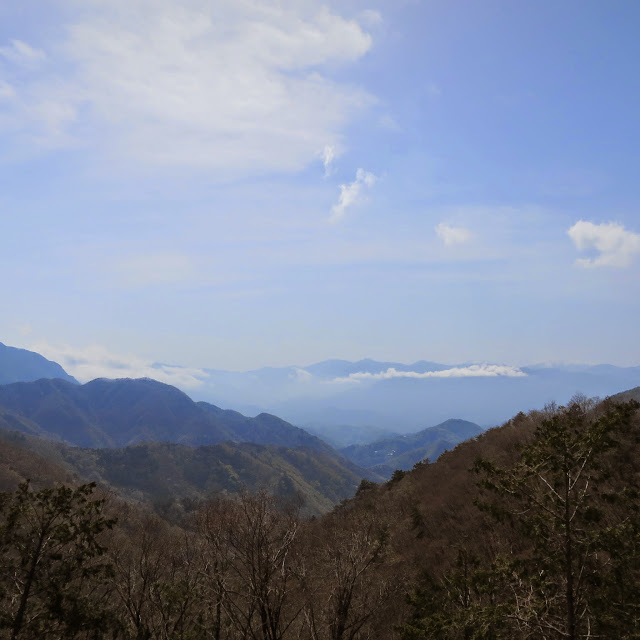
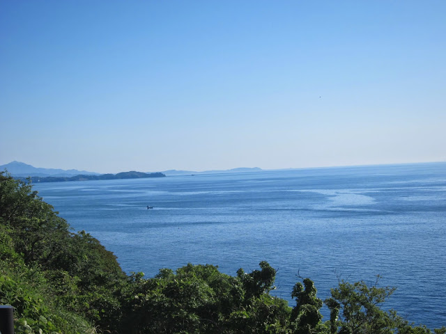
I climbed about 8 km to the pass on Rt12 over to Ito. This was in the wee hours of the morning, so none of us could admire the beautiful views I had seen here two weeks earlier. The long descent to Ito was very welcome, giving me a chance to rest before the four major climbs along the coastal road to Odawara.
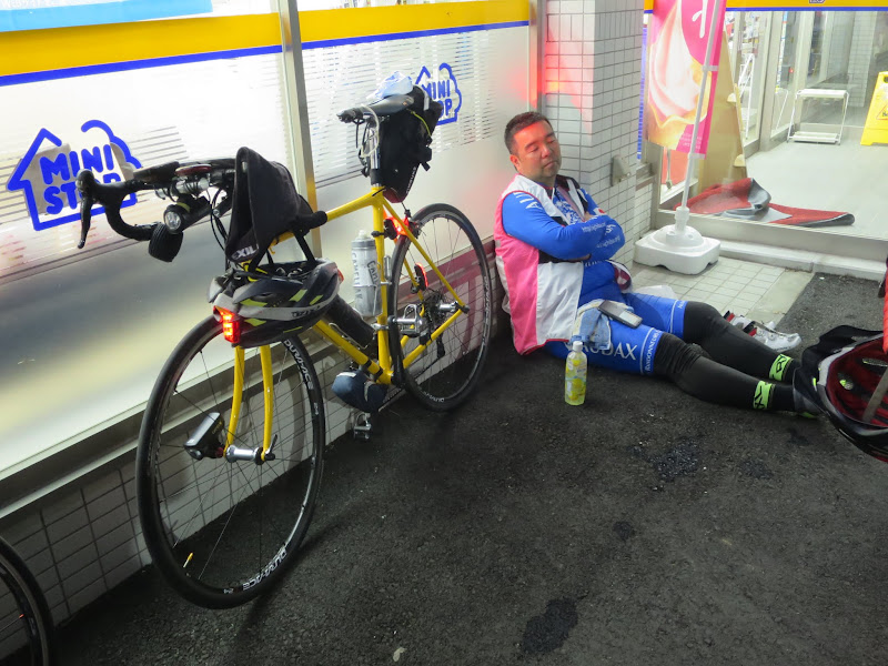
Near Atami I finally did lie down for a turbo-nap of only 10 minutes on the wet asphalt of a conbini. I set my alarm so as not to oversleep, rested my head on the rain wear bag as a pillow and dozed off. Next to me two other participants were sleeping. I found cyclists sleeping by the road side again and again as I was making my way to Odawara and on to PC5 near Fujizawa (90 km from PC4). A few breaks with coffee and food helped to keep me going. I knew I had a decent time buffer and was happy to eat into it to make the pace more comfortable.
Odawara to Machida
After Odawara the road flattened out but also got busier with Sunday morning traffic. At 06:24 I finally rolled up in front of the Circle-K store that served as the final control, PC5 – exactly one hour before closing time. I had 3:36 to cover the final 36 km, which I means I could make it with an average speed of no more than 10 km/h. With traffic lights I usually average around 18 km/h in central Tokyo. So I should have been fine.
My shoes and socks were wet from water from puddles that had splashed up. I was tired but only 36 km away from the goal, which is almost nothing if you’ve already done 10 times as much, right?

I struggled on, checking the time and remaining distance on the GPS regularly. I did another conbini stop for the toilet and food. The rain got worse.
Why tubeless with sealant is better
When the light turned green at the Rt246 intersection, I started up but noticed a funny wobble. I came to a halt on the opposite side and looked back – my rear tyre was complete flat. I had suffered a puncture! This was 16 km from the finish line.
I knew how hard both Shintaro and Tim had struggled when they mounted the tyres on my rims, so I wasn’t looking forward to the repair, but it was my only chance. A quick check found a glass shard of 3-4 mm embedded in the tread of the rear tyre and I pulled it out. I had two spare tubes with me, one in the front bag, one under the saddle, so theoretically I should have been able to recover from the problem, as long as I didn’t run out of time.
My fingers got greasy from the chain when removing the rear wheel, but that was a minor inconvenience. I got out my tool kit and tried prying the tyre off the rim using the plastic tyre levers. On the Bike Friday I could have done this by hand and the whole job would have taken no more than 10 minutes, but with the tubeless-ready Velocity Blunt SL rims the tyre beads are firmly seated and do not come off easily. It seemed like I would almost break the tyre levers before the beads would move. I just didn’t have the right technique.
I tried and tried and had almost given up when I finally managed to work my way into loosening it from one point and from there around the whole circumference. I could then remove the punctured tube. I installed the spare tube and slightly inflated it so it would hold its position, then began the equally tricky part of getting the bead to slide back over the rim, without puncturing the tube or tearing up the side walls. Then get the wheel back in, with the rotor sliding into the brake caliper and the cassette engaging the chain and derailleur. Somehow after some wiggling and more grease on my fingers everything came back into place again. Then inflate the new tube and hope it doesn’t explode from being pinched somewhere. I knew I wasn’t giving the tyre much pressure but the only pump I had was a mini pump I bought 4 1/2 years ago for my Bike Friday with its much less voluminous tyres.
I checked the time when I thought I had just enough air to risk going back on the road – 09:09, only 51 minutes left before 10:00. I collected all my bits and rode off.
I lost time at many red lights. It was only when I got down to about 3 km from the finish that I got confidence I would still make it.
At the finish line
In the end I rolled up in front of the Cherubim bike shop at 09:56, 4 minutes before event closing time. I think I had been the last person still on the course, as I didn’t see anybody else arrive after me. Everybody had been waiting for me. It was a great relief to have made it after all. This was my first puncture in any of the brevets I have done since 2012.
AJ NishiTokyo staff checking brevet card and receipts:
Taking shelter from the drizzle at the finish:
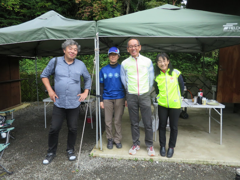
After the event closed, everybody helped breaking down the reception desk and tent and packed things up. We posed for a group photograph, said goodbye until the next event and we headed home.
Some 15 km after Machida I slept for another half an hour on a park bench by the side of the Tamagawa river, before I could complete my ride home: The ride is not over until you arrive safely at your front door! 🙂
Conclusions
First of all, my thanks to AJ NishiTokyo for this great event 🙂 Everybody got home safely, whether they DNF’ed or completed. It’s a great course and we were mostly lucky with the weather.
Like at the brevets in Izu (200 km) and the Fuji 300 km I was very happy with the Elephant NFE. It works very well for me. I make good time on it. Carrying luggage on the front carrier is surprisingly aerodynamic, as it shields the rider from wind and everything is always within easy reach. I’m planning on getting a bigger front bag though.
The difficulty of changing tubes with my current rim / tyre combination compared to the Bike Friday is a bit of an Achilles heel for this bike. I will have to rethink that. One option would be to move to a completely tubeless setup with sealant, which would at least take care of minor punctures, but I will have to see what tyres will work for that and what rim tape, valves and sealant to use.
The Bike Friday will gets its pump back and the NFE will get its own bigger pump.
I will also look for different rain pants. I have a very good Polaris rain jacket, but the trousers from a set I recently bought at a home center to replace a pair torn in a crash in November did not work well enough for long rides.
I don’t have any brevets scheduled for May, but in early June I’m signed up for BRM604 NishiTokyo 600 km Lake Suwa. I will again be riding it on the Elephant NFE and the experience gained from the last three brevets should help. Finishing a 600 km ride in 40 hours is still a long shot for me, but I’ll give it another try and even if I fail, I’ll see great countryside, meet nice people and bring home beautiful pictures 🙂


")